

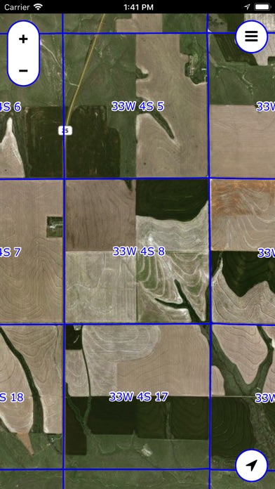

The PLSS (Public Land Survey System) is a system in which land is divided into rectangular townships and sections.
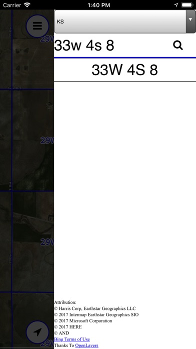
This app displays legal section names (e.g. "21W 13S 6") and borders, overlaid on a Bing satellite map.
You can search for sections by their legal name.
NOTE: Not all locations are supported. Please check the list below for your state or provnce.
Supported states and provinces:
USA:
AL
AZ
AR
CA
CO
FL
ID
IL
IN
IA
KS
LA
MI
MN
MS
MO
MT
NE
NV
NM
ND
OH - Partial support
OK
OR
SD
UT
WA
WI
WY
Canada:
AB
BC (No Searching)
MB
ON (No Searching)
SK